
Drone Mapping Services: What to Expect and How to Prepare
Understanding Drone Mapping Services
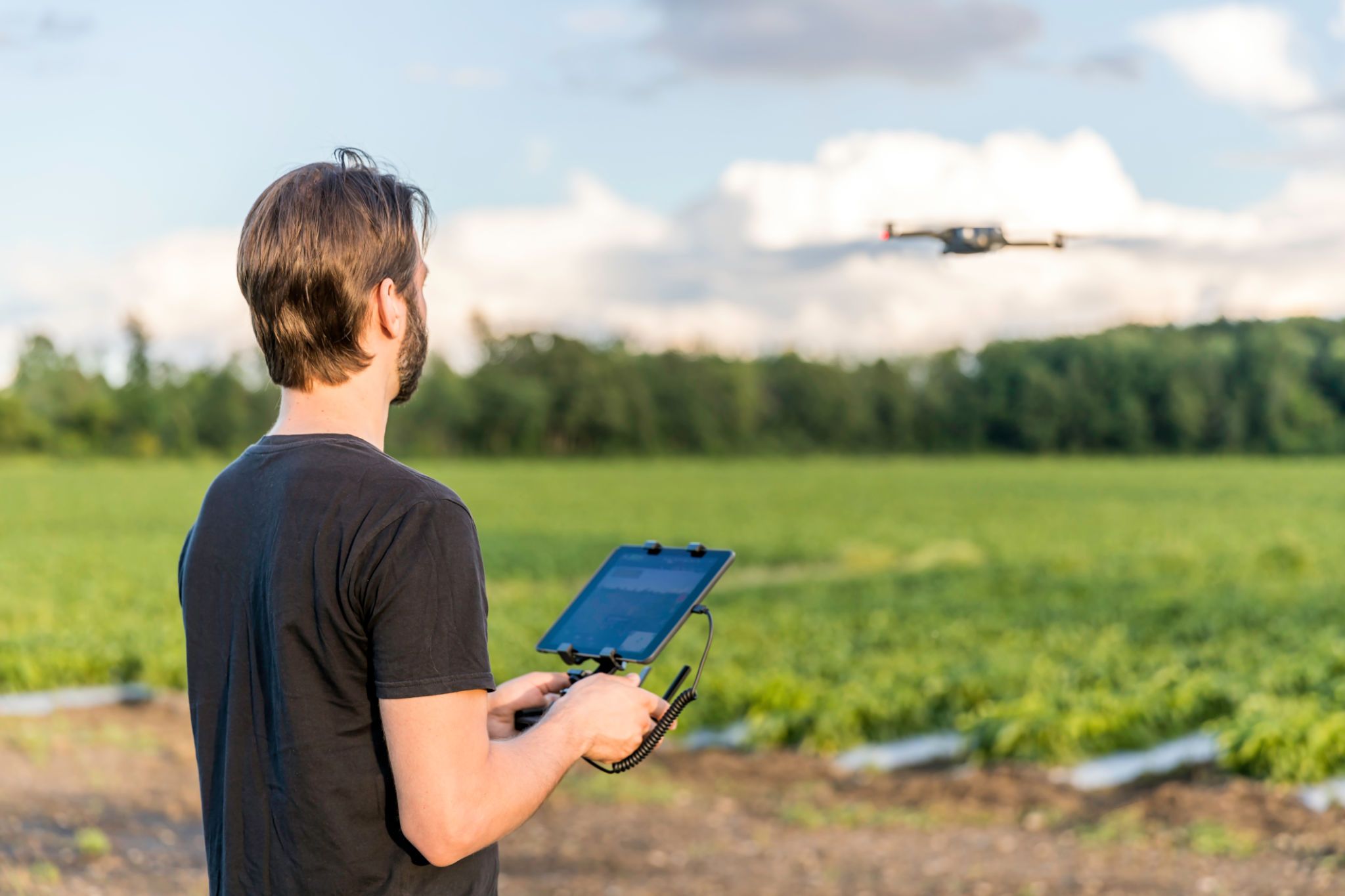
Drone mapping services have revolutionized the way we capture and analyze spatial data. By using drones equipped with advanced cameras and sensors, businesses can obtain high-resolution imagery and create detailed maps quickly and efficiently. Whether you’re in construction, agriculture, or any industry that requires precise mapping, drone technology offers invaluable insights.

The Benefits of Drone Mapping
One of the primary advantages of drone mapping is the speed and accuracy it provides. Traditional surveying methods can be time-consuming and often require significant manpower. In contrast, drones can cover large areas in a fraction of the time, delivering detailed and accurate data that can be used for analysis and decision-making.
Moreover, drone mapping is cost-effective. It reduces the need for manual labor and expensive equipment, allowing businesses to allocate resources more efficiently. Additionally, it enhances safety by minimizing the need for personnel to physically access potentially hazardous areas.

What to Expect from a Drone Mapping Service
When you opt for a drone mapping service, you can expect a systematic approach to data collection and analysis. The process usually begins with an initial consultation to understand your specific needs and objectives. This step is crucial as it ensures that the data collected will be relevant and useful for your project.
Data Collection Process
During the data collection phase, licensed drone operators will execute carefully planned flight paths to capture comprehensive aerial imagery of the target area. This imagery is then processed using specialized software to create detailed maps and models. The level of detail can be tailored to your requirements, ranging from basic 2D maps to complex 3D models.
Preparing for a Drone Mapping Project
To make the most of drone mapping services, it's essential to prepare adequately. Start by clearly defining your project goals. Understanding what you hope to achieve will help the service provider tailor their approach to meet your needs.
Site Preparation Tips
Next, ensure the site is ready for drone operations. This may involve securing necessary permissions or notifying local authorities if required. It’s also important to consider weather conditions as they can impact drone flights. Clear skies and minimal wind are ideal for capturing high-quality imagery.

Choosing the Right Provider
Selecting a reputable drone mapping service provider is crucial. Look for companies with experienced pilots who are familiar with the latest technology and regulations. Check their portfolio to see examples of previous work and read reviews from past clients to gauge their reliability and expertise.
In conclusion, drone mapping services offer incredible benefits in terms of efficiency, cost savings, and data accuracy. By understanding what to expect and preparing adequately, businesses can leverage this technology to gain valuable insights and drive informed decisions.